Transport
There are three airports servicing Sardinia:
Olbia in the North East for Porto Cervo and the Emerald coast.
Alghero in the North West
Cagliari in the South.
These are displayed on the map below and for those picking up a hire car from the airports you can get directions by clicking on the relevant airport icon and select the directions link. At the bottom of the map just put the address of your hotel or nearest town and select ‘get directions’.
Ferries operate between mainland Italy ( Naples, Genoa and Civitavecchia near Rome) and Sardinia, with main ports at Cagliari (S), Olbia (NE), Arbatrax (E) and Porto Torres (near Sassari in the NW). There is also a ferry from Marseille.
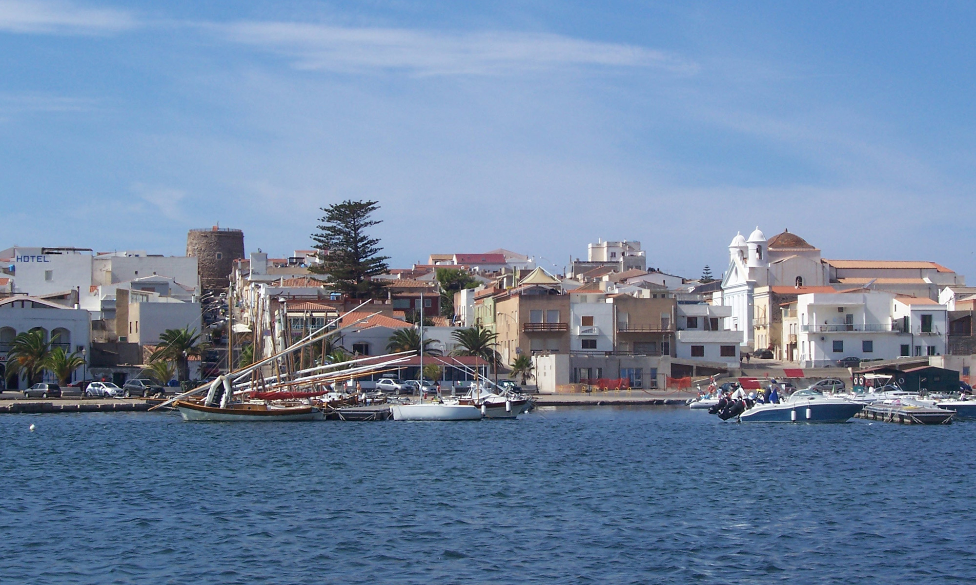
Buses and trains service the main towns and some of the more popular tourist locations but car hire is really essential for those visitors wishing to explore beyond their hotel or resort. The main car hire companies operate there and the roads are very good and relatively quiet outside the main towns. The island is approx 260 km (162 miles) long and 120km (75 miles wide) and therefore most locations can be reached within reasonable driving time.
Another means of reaching the more inaccessible regions and villages is the Trenino Verde (Green Trains) which offers a number of ‘tourist routes’ through the mountains and along the coast. There is an excellent website with wonderful photographs taken along the various routes together with timetables and fares.
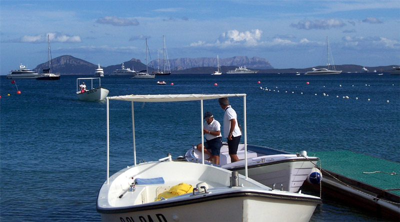
Boat hire is of course an alternative with a wide range of short and longer term packages available. Excursions to La Maddalena and other islands is another possibility. Should you wish to take advantage of its proximity to Sardinia, there ia regular ferry to the island of Corsica.